top of page

TRAIL

AREAS

Send us a message

Grey Mountain

There are a few general meeting places on Grey Mountain:

​

Bottom of Grey Mountain – Turn off Alsek Road onto the Grey Mountain Road.  Before you start ascending Grey Mountain Road, you’ll see a trailhead and a small parking area to your left.

​

Magnusson Parking Lot – Once you start climbing Grey Mountain Road, you will pass the cemetery on your left.  Keep going and you’ll get to a parking lot on your left with a City of Whitehorse trailhead sign.

​

Upper Magnusson Parking Lot/Biathlon Parking Lot – Once you’ve passed Magnusson parking lot, you’ll see a small building with a tower on your right, and a parking lot on your left.  This is immediately before Biathlon Yukon.

​

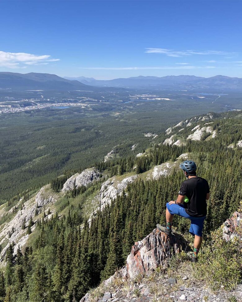
Grey Mountain Lookout – Past the Biathlon and Firing Range, you’ll come to a large parking area/lookout.  This is where the trailhead for the upper Grey Mountain trails is.  It is also the end of the maintained road.

​

Grey Mountain Towers – The road ends at the Grey Mountain towers/helicopter pad.  This is the access point if you are shuttling Money Shot. Note that the road beyond the Grey Mountain Lookout is not maintained and is very narrow in some spots (4 wheel drive strongly recommended). Spots to turn around are limited and the road can be very rough.

Montana Mountain

Montana Mountain lies just outside Carcross, about an hours drive from Whitehorse in the traditional territory of the Carcross/Tagish First Nation.

​

Since 2006, the Singletrack to Success project has worked to bring over 40 km of stellar multi-use trails to the mountain. For more information on trails and conditions, or to support Singletrack to Success, please visit:  https://destinationcarcross.ca/carcross-biking/

​

Please support Carcross/Tagish First Nation by registering at the Carcross Visitor Center and treating the land and trails with respect.

Biking at

Mt. McIntyre

The Mt. McIntyre Recreation Area is a great place for both summer and winter riding.


CMBC works hard to maintain a good relationship with other trails users in the area, especially the Whitehorse Cross-country Ski Club.

​

Visit their page for a detailed trail map of winter and summer biking access: https://www.xcskiwhitehorse.ca/trail-map


Please be mindful of other users in the area and stick to seasonally appropriate trails!

Mt. Sima

Downhill

Mt. Sima Downhill

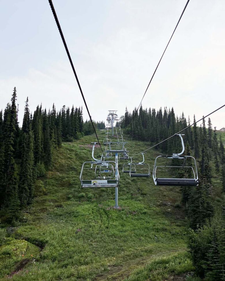
Mount Sima makes the switch from downhill skiing to downhill biking in the summer months with lift accessed trails on the mountain. Visit their website for details on trails, schedule, and lift tickets.

Misc. Meeting Spots

Meeting Spots

There are lots of trails in Whitehorse, and the rest of the Yukon waiting to be ridden.


Here is a map of the more frequently used trailheads and some of the common places that CMBC meets for events.

​

Whitehorse Trailheads

bottom of page